Russian >>>
Supplier of services: ClimberCA International Consortium. About Us
https://t.me/ClimberCA – telegram
+7966 065-53-44 – whatsapp/viber
e-mail: your@climberca.com
e-mail – your.climberca@ya.ru
Note: ClimberCA offers to you the best service & the firm prices of all kind of services we offer on our web-pages. Some services, which we offer to you, are truly unexampled.
ClimberCA is delighted to offer this super exciting adventure. We provide world-class service from Everest Base Camp (EBC) to all the high camps of Mt. Everest from its South face in Nepal. We take care of you right from the arrival in Kathmandu. The price includes Hotel accommodation, the flight to Lukla in the Khumbu region, the trek to Base camp via Namche and tea house full board service during the trek before arriving to base camp; and of course the services at base camp and at the high camps. Let us take care of all the details – you can fully focus on your climb.
The climbing Guides of the consortium are highly skilled, regularly reviewed and re-trained and recognized for their training and experience throughout the profession. We only take the most experienced guides and staff on this expedition. This is a serious climb and mistakes can have serious consequences. This is why we focus extensively on safety and accident prevention for both clients and guides on our Everest expedition. No expedition is without risk and certainly not one to the highest Mountain of the world. However, we implement rigorous safety standards to minimize the risk. We’d also like to highlight that our guides and staff are all employed under ethical standards.
Approaches to ABC from South (Nepal):
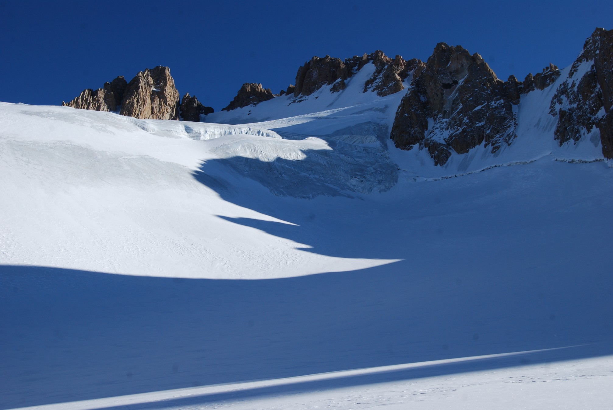
The approached on its south side is through the Khumbu region of Nepal leading up to the Khumbu Glacier extending down to Lobuche (4900m). It starts with the flight to Lukla and the trek via Namche Bazaar (3440m), Tengaboche (36600m), Pheriche (4270m), Lobuche (4910m), Gorak Shep (5140m) to Everest South Base Camp (5364m). It takes typically 8 days to reach ABC from Kathmandu.
Climbing Routes South Side:
South route is technically a trekking route with a little objective danger once past the Khumbu icefall apart of few crevasses and seracs bridged by ladders, couple short ice cliffs around camp 3 and rock sections protected with fixed lines. There is an obvious danger of high altitude sickness complications and changeable, unpredictable mountain weather.
The Khumbu Icefall is a steep glacier with obvious implication of large crevasses and treacherous unstable seracs making navigation complicated and riddled with high objective danger of falling ice. This is the most dangerous part of the climb. At the beginning of the climbing period, climbing Sherpa set the route through the icefall installing ladders across crevasses and along vertical seracs ice walls for efficient and easy climbing. These arrangements make climb of the Khumbu ice fall possible, efficient and relatively safe especially early morning before the sunrise, when the ice structure is well frozen. Khumbu ice fall is very dangerous in the afternoon due to its western aspect.
(more…)