Guided Group Expeditions to Communism (Ismoil Somoni) and Ozodi (Korzhenevskaya) Peaks
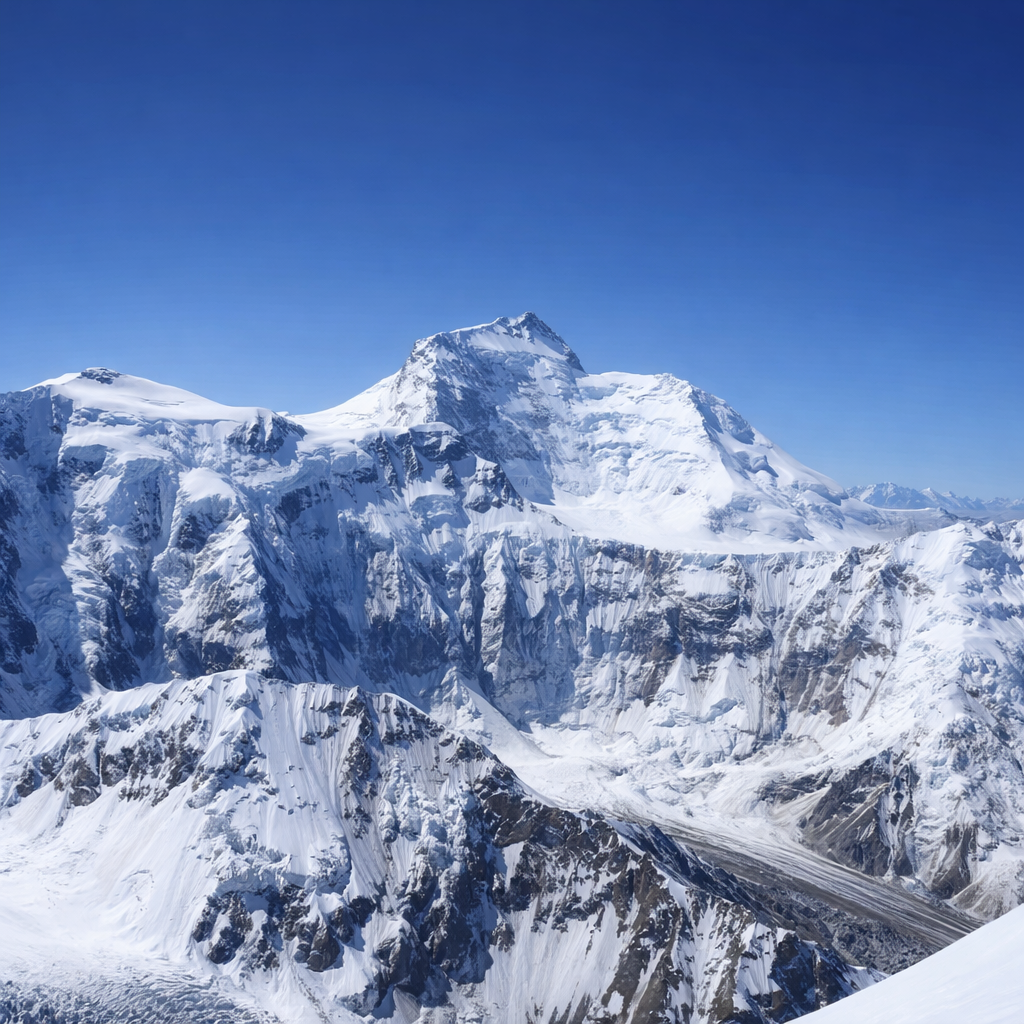
High in the heart of the Central Pamir Mountains, above vast glaciers and one of the world’s highest plateaus, rise two legendary seven-thousanders: Communism Peak (Ismoil Somoni, 7,495 m) and Ozodi Peak (Evgenii Korzhenevskaya, 7,105 m).
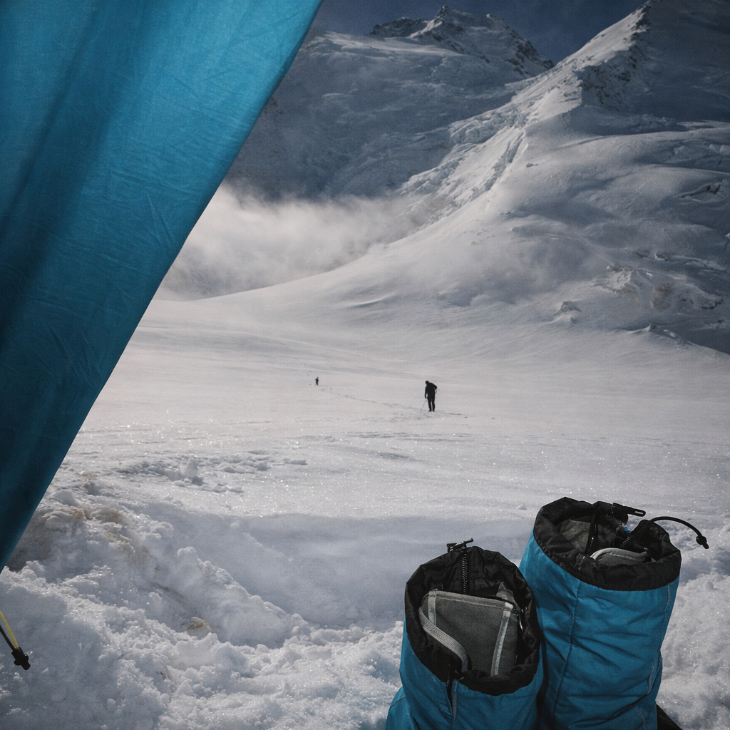
A guided group expedition to these peaks offers a rare opportunity to climb two iconic Pamir summits in a single season, following classic routes, with full acclimatization, professional mountain guides, and expedition-style logistics from Moskvina Base Camp.
These programs are designed for climbers who want structured support, fixed dates, and the experience of a true high-altitude expedition while still preserving the spirit of classic mountaineering.
Supplier of services: ClimberCA International Consortium
Quick contact:
• @ClimberCA (Telegram)
• +7966 0655344 (WhatsApp/Viber)
• your.climberca@ya.ru
Note: ClimberCA provides top-quality services at competitive prices. Explore the full range of services on the website—some are truly unique and unmatched on the market.
The Central Pamir and Moskvina Region
Traditionally, the central and northwestern Pamir are considered one mountaineering region. Two of the three Pamir peaks exceeding 7,000 meters are located here: Communism Peak (Ismoil Somoni) and Ozodi Peak (Korzhenevskaya). The area is also home to the Fedchenko Glacier (71.2 km), the largest glacier in Central Asia.
The region consists of a series of mountain ranges running predominantly east to west, connected by the Akademia Nauk (Academy of Sciences) Range. Expeditions typically operate from two base-camp areas:
-
Moskvina Base Camp (4,100–4,360 m)
Located near a small alpine lake at the confluence of the Waltera and Moskvina glaciers, this is the primary base for ascents of both Communism and Ozodi peaks. -
Suloev / Fortambek Camp
Situated on the Fortambek plateau opposite the Tramplinniy (“Springboard”) Glacier, mainly used for alternative logistics.
Best climbing season
The Pamir climate is highly variable, and the climbing season is relatively short.
The optimal period for expeditions is mid-July to August 20.
Peak Overview

Communism Peak (Ismoil Somoni) — 7,495 m
Communism Peak is a massive rock-and-ice pyramid with four distinct faces. Classic routes cross the famous Pamirskoe Plateau, one of the highest and largest plateaus in the world (4,700–6,300 m, approx. 3 × 12 km).
The normal route (Barodkin Ridge, North, 5A) is technically moderate but extremely demanding due to altitude, length, and exposure. It is comparable in difficulty to classic routes on Lenin Peak, yet far more remote and committing.

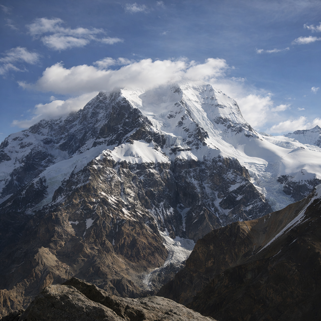
Ozodi Peak (Evgenii Korzhenevskaya) — 7,105 m
Ozodi Peak lies approximately 13 km from Communism Peak and is considered one of the most accessible seven-thousanders in the Pamir.
The South Ridge route (5A), opened in 1966, is logical and relatively straightforward after proper acclimatization. It is often used as the first summit in combined programs, allowing climbers to adapt to altitude before attempting Communism Peak.
Why a Guided Group Expedition?
A guided group format on fixed dates provides several advantages:
-
Professional high-altitude mountain guides
-
Pre-planned acclimatization strategy
-
Established camps and logistics
-
Shared group equipment and safety systems
-
Fixed helicopter flights and support staff at Base Camp
This format is ideal for climbers aiming to test themselves at extreme altitude, gain experience above 7,000 m, and climb two major Pamir peaks within one expedition window.
Central Pamir, Moskvina Base Camp | Fixed Dates Program Overview (29 Days)
Arrival & Approach
Day 1–2
Arrival in Dushanbe, hotel accommodation, rest and preparation.
Transfer to Dzhirgital, overnight in a guesthouse.
Day 3
Helicopter flight to Moskvina Base Camp (≈4,360 m). Camp setup and acclimatization begins.
Acclimatization & Ozodi Peak
Days 4–11
Gradual acclimatization with rotations between Base Camp, Camp 1 (≈5,300 m), Camp 2 (≈5,600–5,800 m) and Camp 3 (≈6,400 m).
Equipment checks, route briefings, and rest days.
Day 12
Summit push to Ozodi Peak (7,105 m).
Descent to high camp and return to Base Camp over the following days.
Transition & Rest
Days 13–17
Reserve days, recovery, and preparation for the ascent of Communism Peak.
Logistics, food resupply, and route consultations.
Communism Peak Ascent
Days 18–22
Progressive ascent through high camps on the Pamirskoe Plateau, acclimatization to 6,100–6,400 m and higher.
Day 23
Summit push to Communism Peak (7,495 m).
Descent to high camp.
Descent & Return
Days 24–27
Descent to Base Camp, reserve days for weather or recovery.
Days 28–29
Helicopter flight to Dzhirgital, transfer to Dushanbe, hotel, and departure.
Fixed Dates & Prices (Guided Groups)
Climbing Communism + Ozodi Peaks
Price: 5,800 USD per person
Dates:
-
July 12 – August 10
-
July 25 – August 22
Climbing Ozodi Peak Only
Price: 4,950 USD per person
Dates:
-
July 12 – July 28
-
July 25 – August 10
What Is Included
-
Airport meet & greet in Dushanbe
-
Accommodation in Dushanbe (2 nights, hotel)
-
Transfers Dushanbe – Dzhirgital – Dushanbe
-
Helicopter flights Dzhirgital – Moskvina Base Camp – Dzhirgital (cargo up to 30 kg included)
-
Accommodation in Dzhirgital (1 night)
-
Base Camp accommodation (tents, double occupancy)
-
Full meals at Base Camp and high-altitude food
-
Mountain guide services on both peaks
-
High-altitude tents for Ozodi Peak
-
Group equipment (ropes, gas burners, cookware, tents for Communism Peak)
-
Hot showers and sauna at Base Camp
-
Gadget charging and luggage storage
-
Medical support and first aid
-
Radios during the ascent
-
Fixed ropes on the routes
-
Rescue service registration
-
Environmental fees and border zone permits
Not Included
-
Visas and international flights
-
Meals in Dushanbe and Dzhirgital
-
Single room supplements
-
Insurance
-
Porter services
-
Personal equipment rental
-
Gas cartridges
-
Personal expenses
Additional Services at Base Camp
Porter service fees:
-
4,200 – 5,300 m: 10 USD per kg
-
5,300 – 5,800 m: 15 USD per kg
-
5,800 – 6,300 m: 20 USD per kg
Gas cylinders (new):
-
230 g: 15 USD each
-
440 g: 25 USD each
High-altitude tent rental:
-
80 USD per program
Internet access:
-
5 USD per hour
Accommodation at Moskvina Base Camp:
-
25 USD per tent per day (own tent)
Meals at Base Camp:
-
-
Breakfast: 20 USD
-
Lunch: 25 USD
-
Dinner: 25 USD
-
Conclusion
A guided group expedition to Communism (Ismoil Somoni) and Ozodi (Korzhenevskaya) Peaks is one of the most complete high-altitude experiences available in the Pamir Mountains. Combining classic routes, vast glacial landscapes, and professional logistical support, these programs are ideal for climbers seeking a serious 7,000-meter challenge within a structured and reliable expedition framework.
