Khan-Tengri Peak (7010 m) – Expedition 2024
– Guided Khan-Tengri Peak expedition – Special offer & fixed dates 2024
– Khan-Tengri Peak North Side Expedition (7010 m)
– Khan-Tengri Peak North to South Expedition
– Acclimatization trek from «At-Jailoo» 2500m to BC «South Inylchek» 4100m + mountaineering program
Supplier of services: ClimberCA International Consortium. About Us
Telegram – https://t.me/ClimberCA
WhatsApp / Viber +7966 065-53-44
e-mail – your@climberca.com
Note: ClimberCA offers to you the best service & the firm prices of all kind of services we offer on our web-pages. Some services, which we offer to you, are truly unexampled.
If you book this tour through us, we guarantee you accurate and professional fulfillment of all obligations, as well as attentive individual approach to each client.
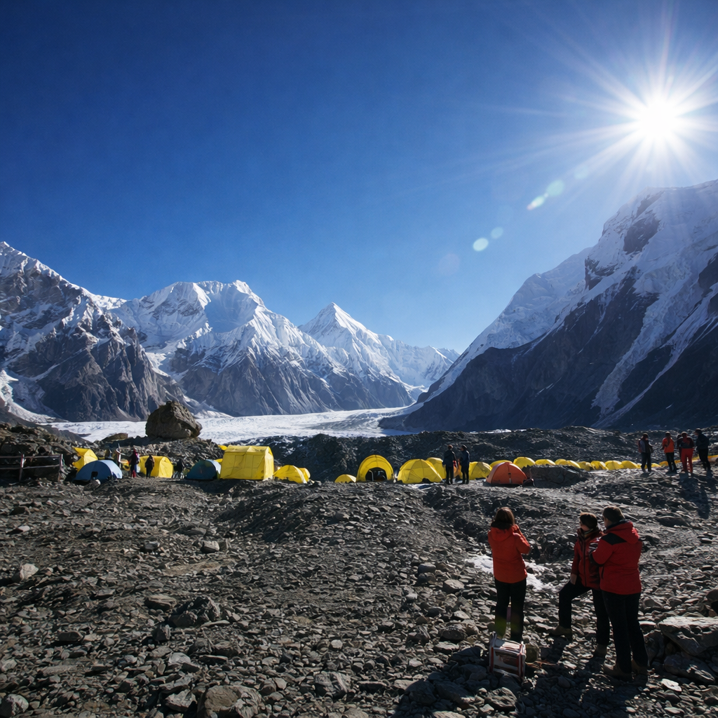
“North Inylchek” and “South Inylchek” Base Camps will be active between 10th of July and 25st of August in 2024.
The beautiful pyramid of Khan Tengri is without doubt the Jewel of the Tien Shan. It is the second highest mountain in this most northerly and remote of the great Asian mountain ranges. Among the local people, the white peaks are known as ‘The Mountains of Heaven’.
Khan Tengri was first climbed by a Soviet expedition in 1931, via the West Col and West Ridge. Since then, most of its ridges and faces have been climbed – all by Soviet teams.
We offer a classical route – from the south, gaining the Western Col from the Southern Inylchek glacier. This approach is most popular among climbers. Depending upon the conditions prevailing at the time, it is likely that 3 or 4 camps will be used to climb Khan Tengri.
Route Description
The West Ridge of Khan Tengri is a classic route that presents a reasonable objective for competent mountaineers. The ridge rises from the West Col, which is very enjoyable, straightforward ‘scrambling’ for the most part, with steep rocky steps linked with snow patches. There are only a couple of sections which require more care; such as the vertical rock step of about 50ft at 6,800m and the knife above. In terms of equipment needed once on the route, a single ice axe is sufficient, although the addition of a ski pole might be useful. From the snow caves (near the West Col) a short snow/ice slope of 40 degees, which is fixed with rope, leads up to the West Col (6000m). The Col is narrow and heavily corniced and the top of the fixed ropes should be carefully noted. A traverse along the Col leads to the mixed ground of the West Ridge where the angle steepness. The route then follows the West Ridge via a number of small bivouac sites at 6200m, 6400m and 6700m.
Almost the entire ridge is fixed with rope, but these need to be used with caution as their condition and the anchors are variable (the ropes are renewed at the beginning of every summer season by local guides). The route follows the crest of the ridge with snow and scrambling interspersed with steeper rock sections until 6,700m. Here a traverse rightwards across snow slopes reaches a steep rock step of some 20m which is severe in standard.
Above this the route climbs into a snow basin and then traverses out rightwards again to exit onto a short steep knife edged snow ridge of some 50m which is very exposed. This is followed leftwards to a steeper section of mixed ground.
Above this, the fixed rope ends and there remains around 300m of easy snow climbing for half an hour to reach the summit. The true summit is rather difficult to find, being a large flat snow dome, so the summit point is marked by a metal tripod.
The descent from the summit is very quick using the fixed ropes. The snow caves can be reached in about 3 hours.